Active Wildfires in the US Last updated: 10/5/2020
Data Source:
Incident Information System XML Feed (inciweb.nwcg.gov/feeds/rss/incidents/) maintained by the National Wildfire Coordinating Group (nwcg.gov)
Map Features:
Click to Zoom
Click on a fire marker to zoom into that fire's location and view details
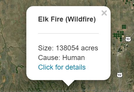
View Details
Clicking on a marker will display the fire's name, size and location, as well as a link to the full details on NWCG's incident website.
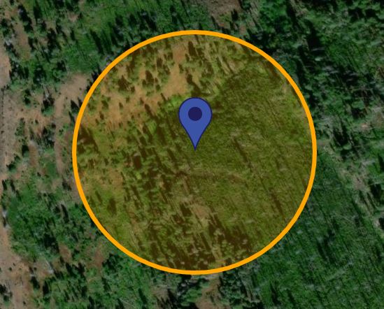
Size Depiction
The yellow circle resizes based on the map zoom level, and accurately represents ammount of land that is currently affected by this fire.
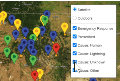
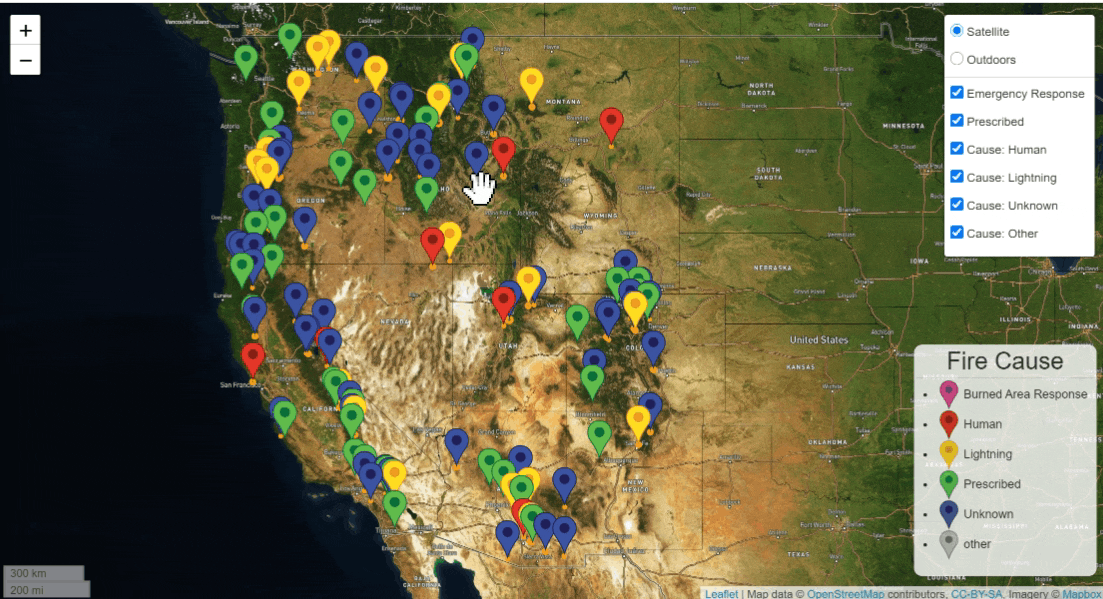
Filter by Cause
Clicking on map controls will filter out fire markers depending on cause.